
Give the wider highlands their own place
Distinguish Ngorongoro, Empakaai and the wider highlands before treating several named places as one simple excursion.
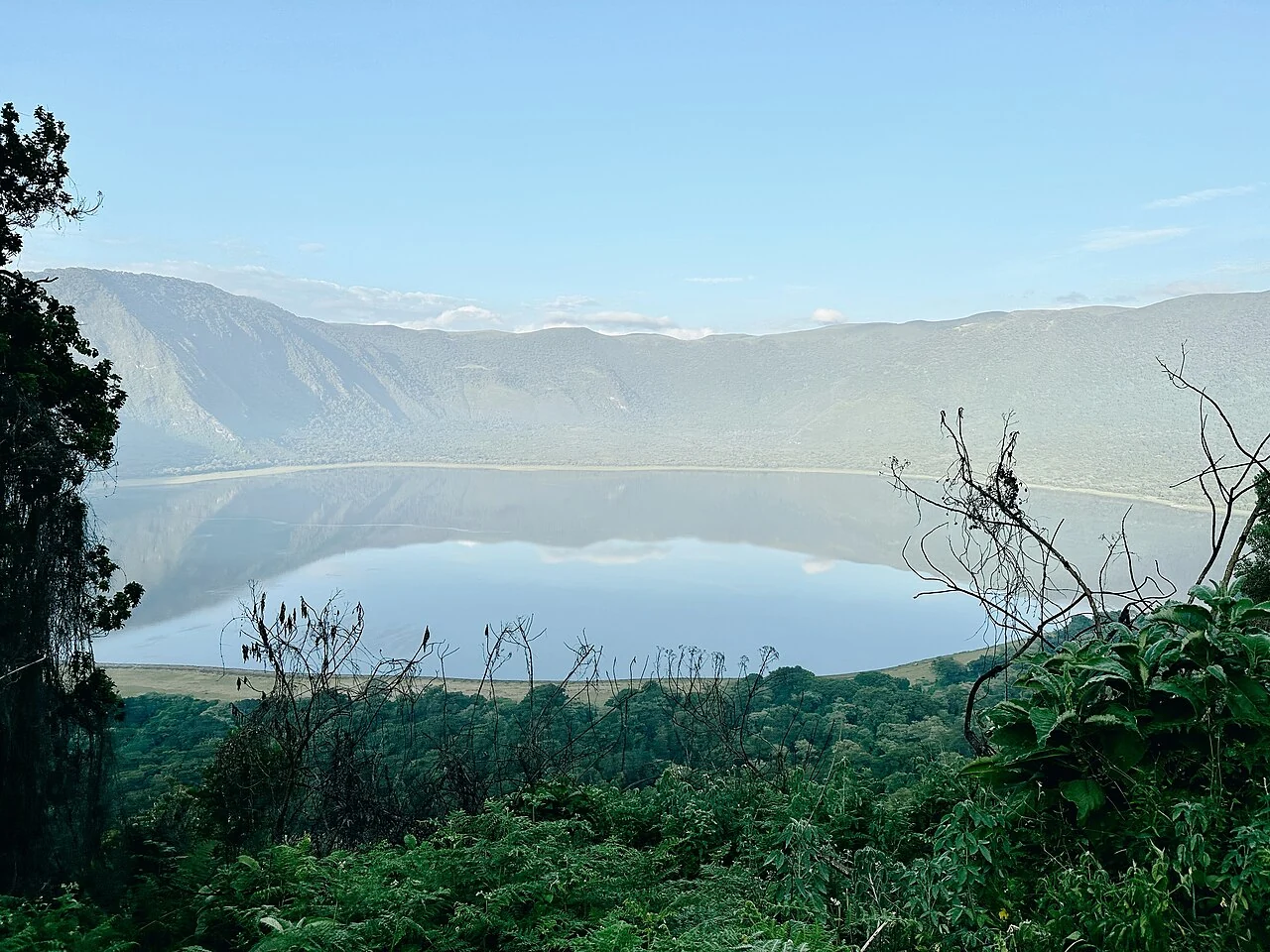
The word Ngorongoro can refer to a particular crater, a conservation area or the broader subject of a journey. That flexibility is useful in conversation but less helpful when you are comparing an itinerary. A visit centred on the main crater does not automatically describe an experience in the surrounding highlands. Begin by identifying which named places the proposal actually includes.
Read each name as a separate place
The Ngorongoro Lengai Geopark describes Olmoti and Empakaai as distinct highland craters. Its Caldera Route places them within a wider geographical story. That interpretive sequence is useful background, but it should not be treated as a guaranteed day schedule or a description of your own transport arrangements. The route on a website and the route agreed with a provider need to be compared carefully.
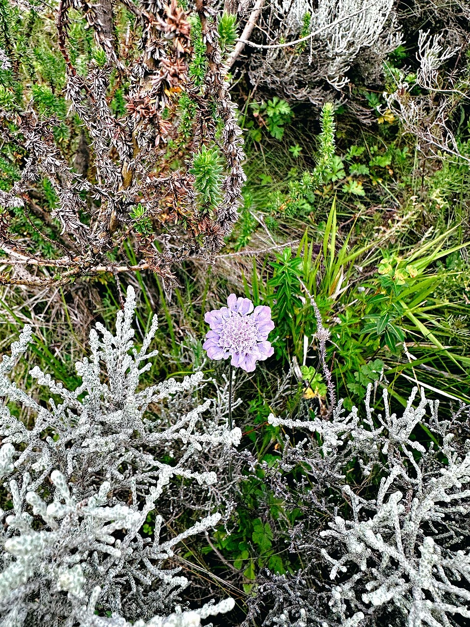
Empakaai photographs can include a lake, wooded slopes and close vegetation. Our images record different views and dates within that setting. A flower study does not show the difficulty of a walking route; a lake panorama does not establish permission to reach the water. Keep the visual impression and the practical arrangement connected without asking either to answer questions it cannot resolve.
Separate viewing from walking
A description that says you will see a place may mean a distant viewpoint, a stop beside a vehicle, a guided walk or something more involved. Ask the provider to state which activity is intended. A place name alone does not describe the surface underfoot, the amount of walking or the support available during the activity.
- Identify the start and end of any walking section.
- Ask how terrain, weather and current access affect the plan.
- Confirm who guides the activity and what arrangements they provide.
- Explain your own needs before agreeing to the route.
- Ask what happens if the proposed activity cannot proceed.
These are questions for the named arrangement, not a universal description of the highlands. Conditions and permissions should be checked through the relevant authority and the provider responsible for the visit.

Leave room for interpretation
There is more to a highland stop than reaching its photographic point. A guide can help distinguish the place you are looking at from neighbouring terrain and explain what is known about its landscape. Ask how much of the proposed visit is devoted to interpretation, rather than assuming that every transfer or stop has the same purpose.
Clear identification is especially helpful when an itinerary combines several areas. Make a short list of names and place them beside the corresponding activities. If the same word appears in an accommodation description, a meeting point and a viewpoint label, check whether those references actually concern the same location.
Compare breadth with attention
A longer list of destinations is not automatically a better match for your interests. You may prefer a more focused arrangement that leaves space for observation and explanation. Someone else may value a wider introduction. The choice becomes easier when the itinerary shows where the time and attention will go, without relying on a fixed promise copied from a general route description.
Use the highlands as a reason to ask better questions. Keep Empakaai, Olmoti and the main crater distinct, read the actual inclusions, and seek current clarification wherever a proposal joins several places into one experience.
Geographical context: the Ngorongoro Lengai Geopark Caldera Route. Its published route is background reading, not an itinerary supplied by this guide.